
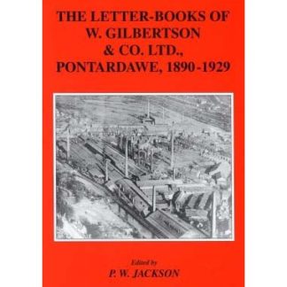
Description
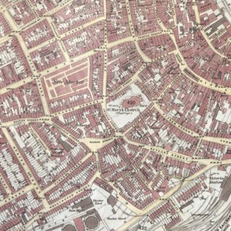
 A reproduction of a first-edition Ordnance Survey map at a scale of 1:2500 (approximately 25 inches to one mile).
This map, at a scale large enough to show every individual building, as well as walls, hedges and individual trees, shows the centre of Swansea in 1878. There are many recognisable Swansea landmarks shown on the map, St. Mary’s Church and Swansea Market amongst others. and it’s great to see how Swansea Town has changed over time.
It is presented with a white border around the image, and the title and date printed on the border
Size (Landscape): 510mm x 705mm

Reviews
There are no reviews yet.