
Description
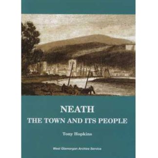
 In 1876-1877 the men from the Ordnance Survey came to Neath to begin the work of surveying the town and local area. Most areas were being surveyed and mapped at a scale of 25″ to a mile, but because of its size, Neath was mapped at the larger scale of 10 feet to a mile. From gardens and trees to courtyards and sheds, these maps show the town in immense detail.
We have digitised the maps and made it into an interactive resource CD. It will work with your internet browser (offline too) to let you navigate around the map. You can zoom in to see each property in detail or out to view the whole town, and pan left, right, up, and down.
Extra features include a street index to help you find streets and buildings named on the map, photographs and engravings of some of the places shown on the map that are not there any more, and a digitised copy of two trade directories of Neath showing what life was like in the town at the time the maps were made.


Reviews
There are no reviews yet.